

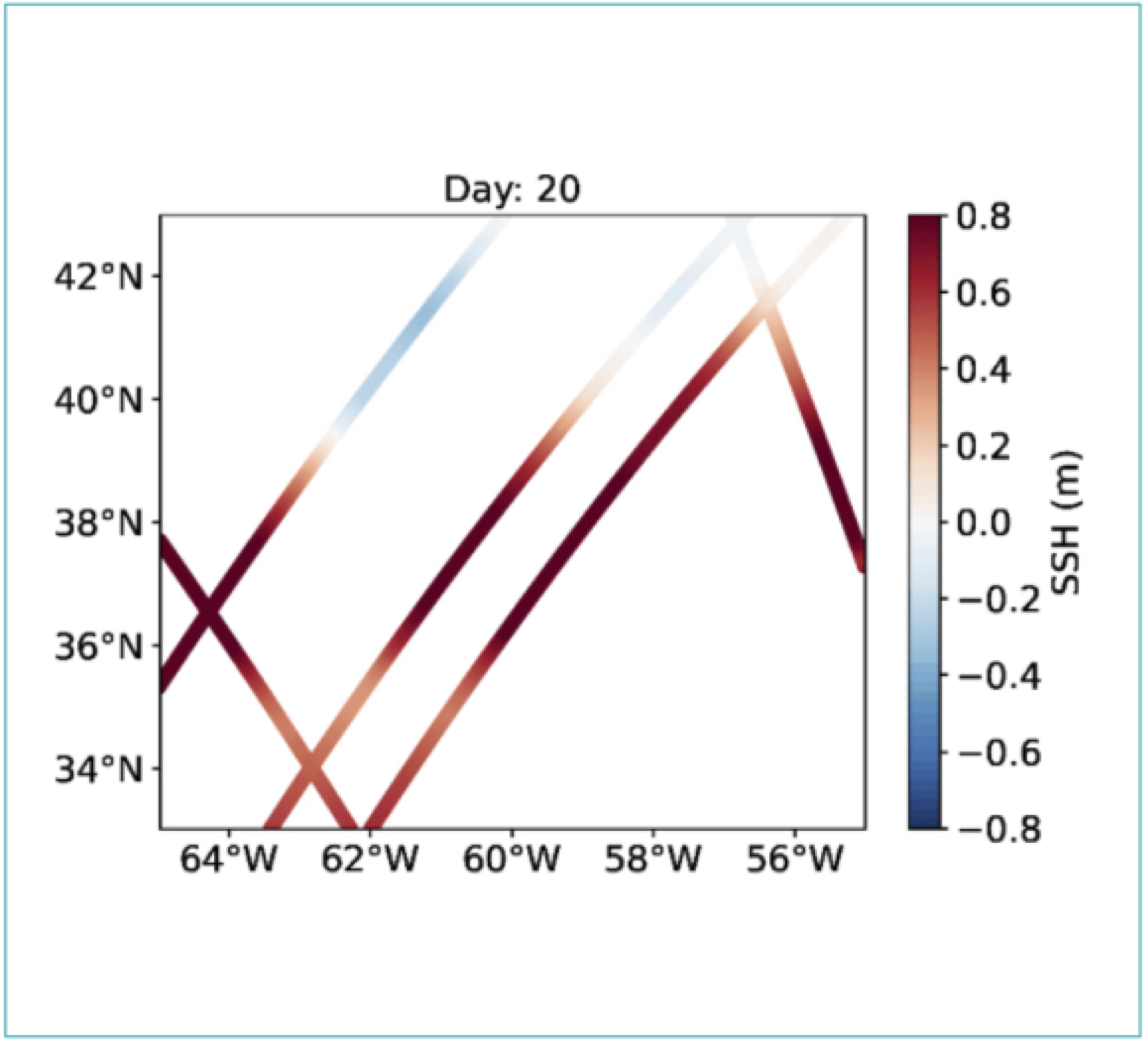
A challenge on mapping both SWOT and nadirs SSH at global scale and in regional zooms.
Datlas and CLS

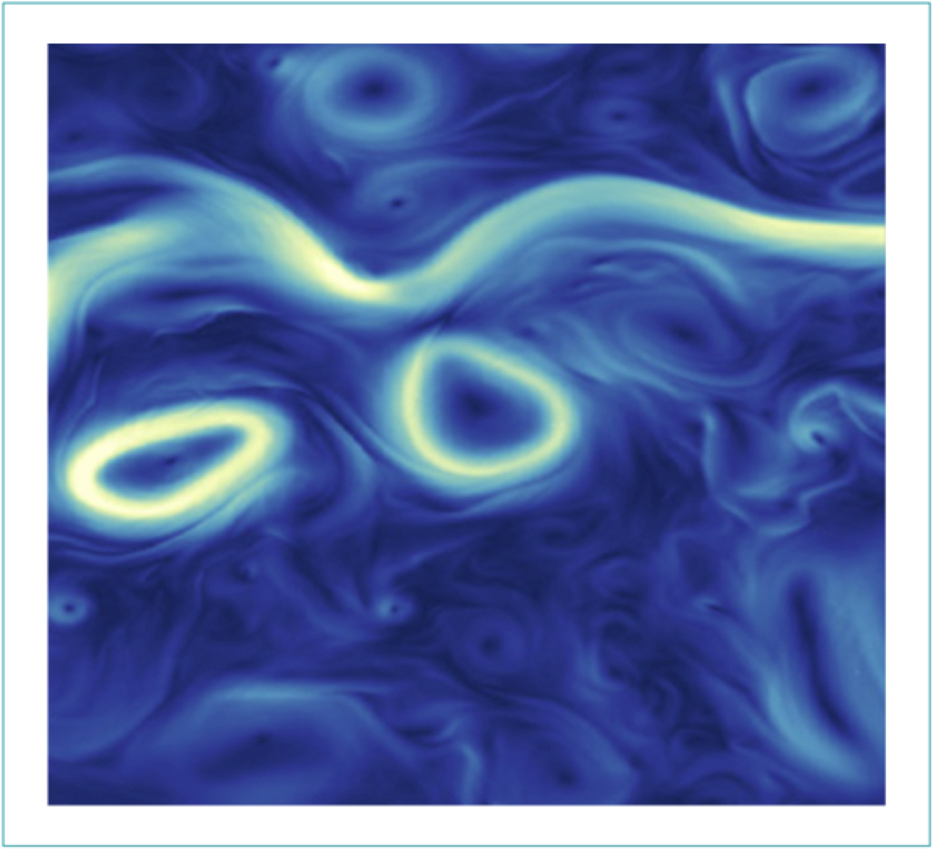
A challenge on mapping SSH from artificial satellite altimeters, training on eNAtl60 simulation and testing on NAtl60.
IMT-Atlantique and CLS

A challenge ESA - 4DMedSea project to provide SSH products in the Mediterranean for 4D reconstructions.
Datlas and CLS

A challenge on real conventional nadir mapping at global scale and in regional zooms.
Datlas and CLS
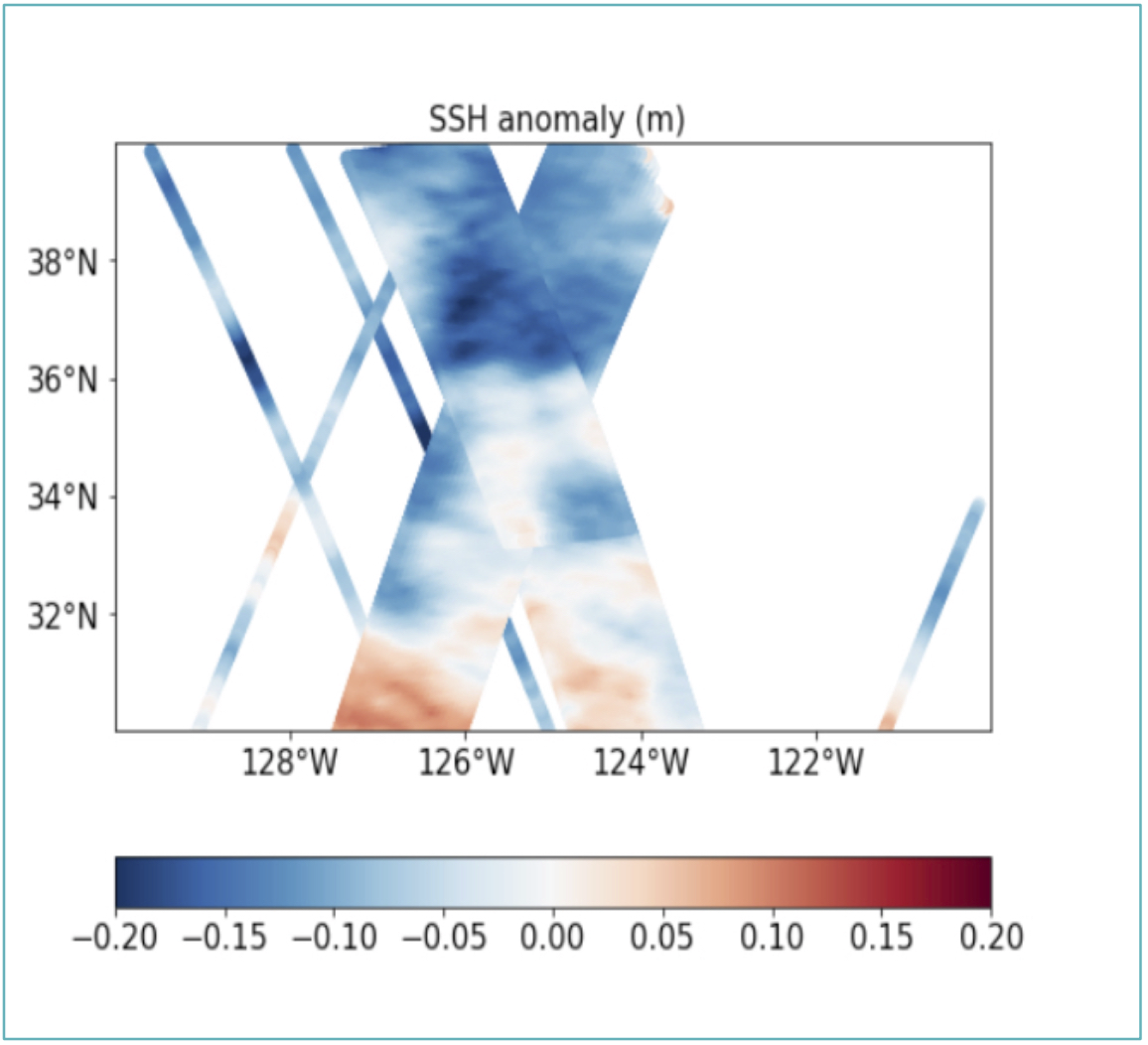
A challenge on mapping high frequency SSH with artificial SWOT and nadir data in the Californian SWOT Xover.
Datlas and MEOM

A challenge on mapping real conventional altimetric data in the Western Mediterranean Sea.
Datlas and MEOM
A challenge on mapping pseudo altimetric data on a quasi-geostrophic model for educational purposes.
Datlas and MEOM
The goal is to investigate how to best reconstruct sequences of SSH maps from real nadir satellite altimetry observations.
MEOM and CLS

The goal is to investigate how to best reconstruct sequences of Sea Surface Height (SSH) maps artificial nadir and SWOT satellite altimetry observations.
MEOM and CLS