

A challenge on mapping SSH from artificial satellite altimeters, training on eNAtl60 simulation and testing on NAtl60.
IMT-Atlantique and CLS
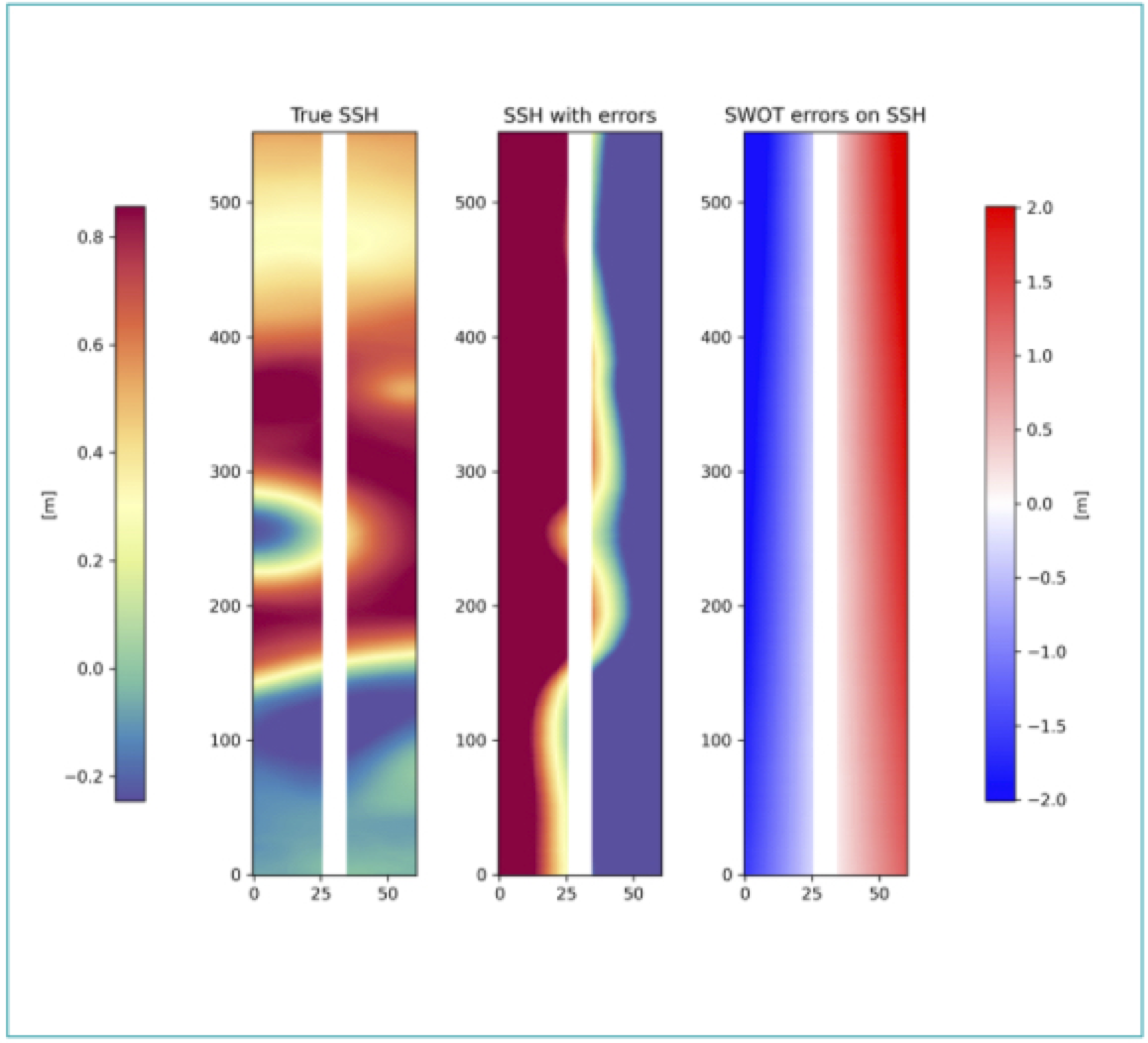
A challenge CNES on removing the uncorrelated KaRIN instrumental noise from the SWOT data.
Datlas, CLS and IMEDEA
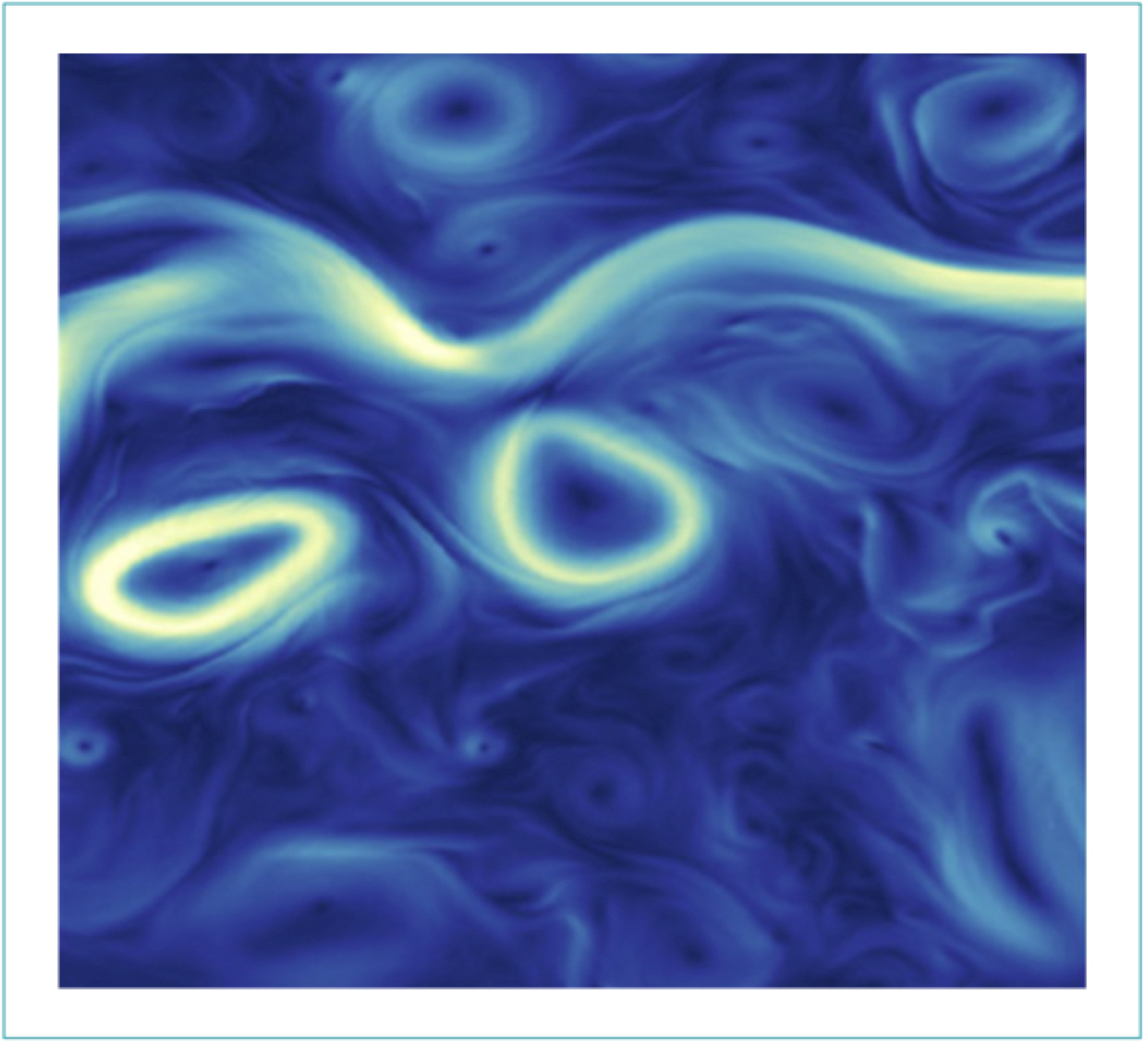
A challenge on inversion of sea surface currents from satellite-derived SST-SSH synergies.
IMT-Atlantique and CLS
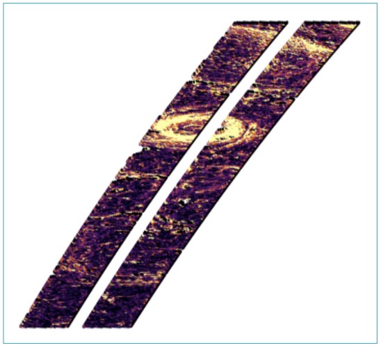
A challenge on the SWOT satellite spatially correlated error calibration in the Gulf Stream region.
Datlas, CLS, IMT-Atlantique and MEOM
The goal is to investigate how to best reconstruct sequences of SSH maps from real nadir satellite altimetry observations.
MEOM and CLS

The goal is to investigate how to best reconstruct sequences of Sea Surface Height (SSH) maps artificial nadir and SWOT satellite altimetry observations.
MEOM and CLS